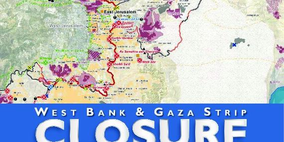
West Bank and Gaza Strip Closure Maps | July 2010

Updated closure maps per governorate in West Bank and Gaza Strip. The booklet also includes maps of East Jerusalem and Hebron H2 area. The maps were designed to be printed on A3 (297 × 420 mm) paper. For up-to-date information on closures, please visit our on-line interactive maps.
